An Informed Decision
From the choice of location, over a decade ago, to the most recent geophysical surveys, the Oriel project has been founded on a commitment to research and best environmental analysis.
Over the last few years, we have invested over 20,000 hours studying the site. We are testing wind speeds, currents, wave height, sea bed conditions, sub-sea geology, visual impacts, acoustic impacts on marine and animal life and other environmental factors.
Among the activities carried out were:
• Wind Measurement – one year of continuous wind measurement completed.
• Geotechnical Investigation – fourteen boreholes drilled in the project area and cable corridor over 28 days in March and April 2020.
• Geophysical mapping – 43.8km of geophysical mapping over 19 days in August and September 2019.
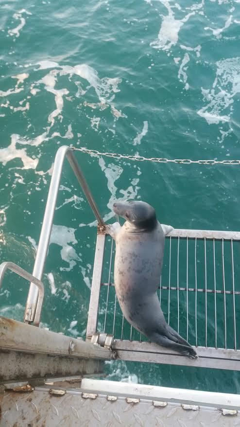
• Seabird and Marine Mammal Surveys – Over 175 man-days of survey by boat and aeroplane over a 2.5 year period.
• Marine Mammals – one year of in-sea acoustic monitoring for marine mammals.
In designing the Oriel wind farm, we respect the sensitive natural habitats and ecologies found both offshore and onshore. Extensive environmental assessments have been undertaken and a comprehensive Environmental Impact Assessment Report and Natura Impact Statement will accompany the final updated planning application.
An Environmental Impact Assessment Scoping Report was prepared and circulated to prescribed authorities for a scoping opinion. A copy of this report is available below in the downloads section.
Consultation Panels
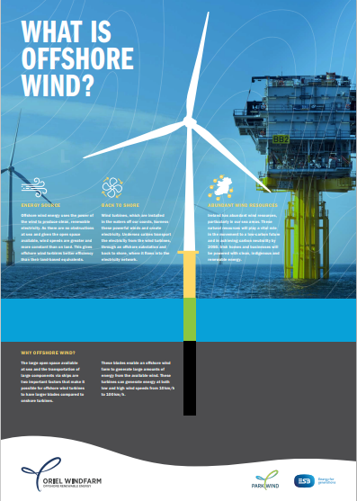
What is Offshore Wind?
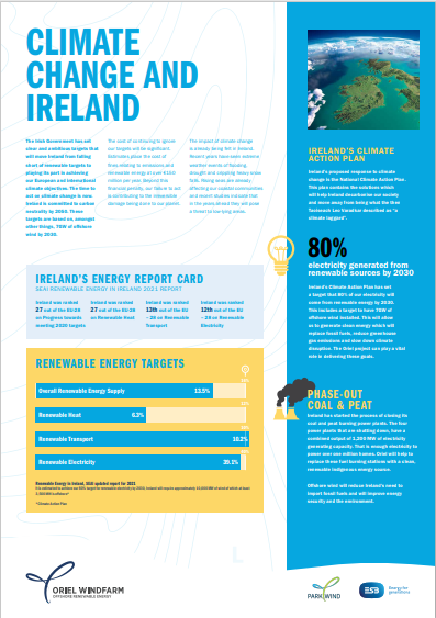
Climate Change and Ireland
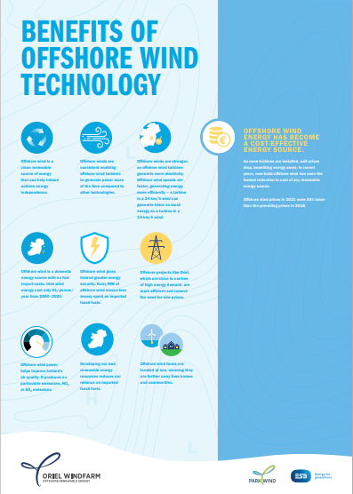
Benefits of Offshore Wind Technology
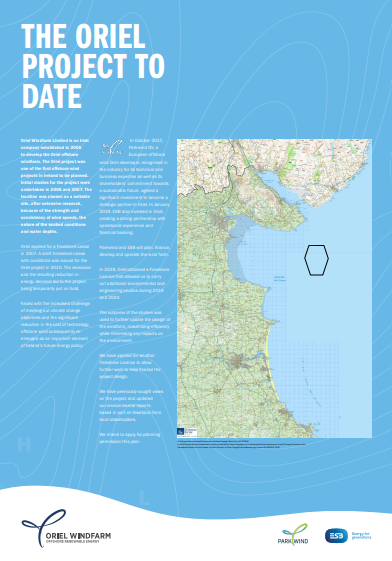
The Oriel Project to Date
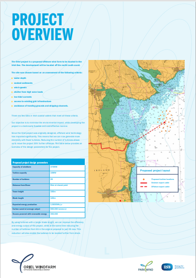
Project Overview

Introduction to Parkwind and ESB
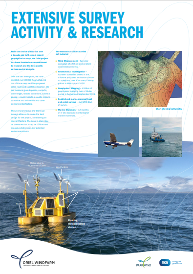
Extensive Survey Activity & Research
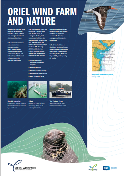
Oriel Wind Farm and Nature
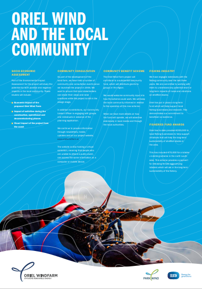
Oriel and the Local Community
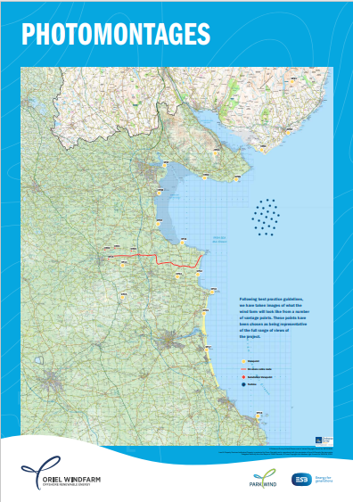
Photomontages
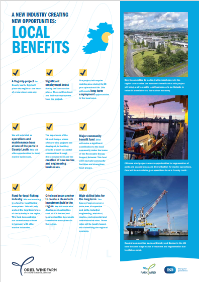
Local Benefits
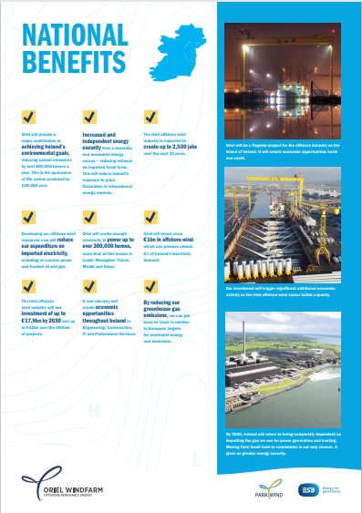
National Benefits
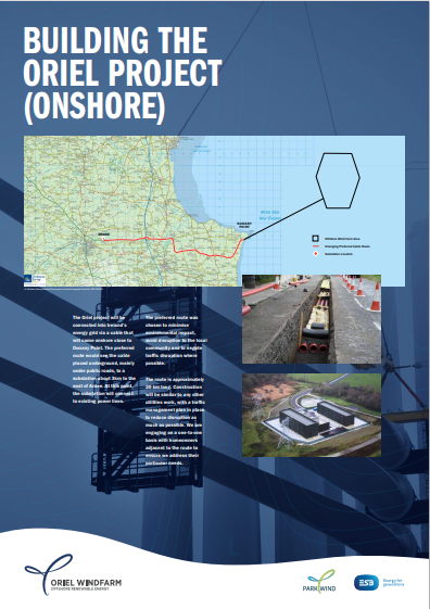
Building the Oriel Project (Onshore)
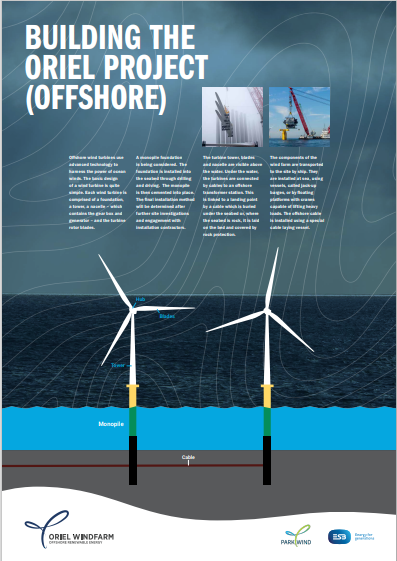
Building the Oriel Project (Offshore)
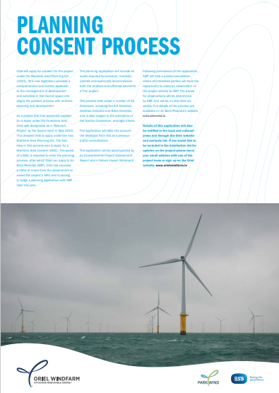
Planning Consent Process
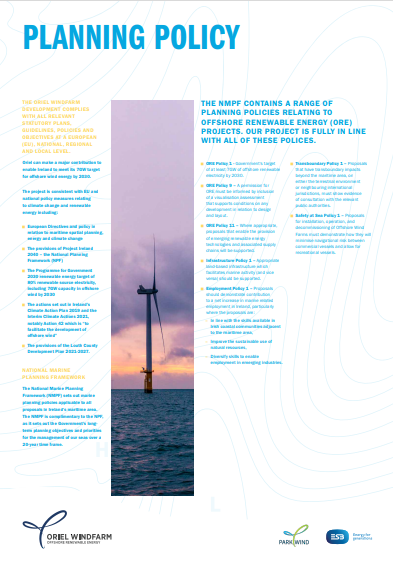
Planning Policy
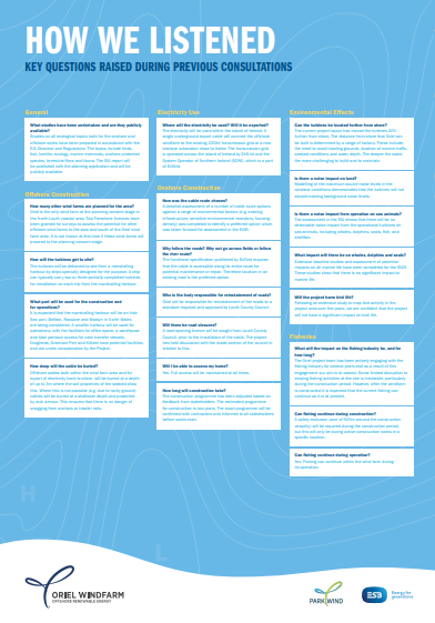
How We Listened pt. I
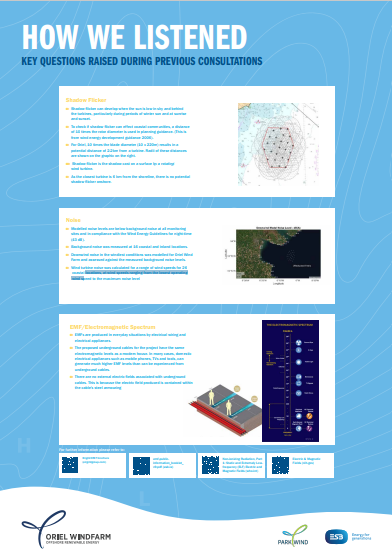
How We Listened pt. II
